Development and application of methods in geospatial information
by Portal PPGAIG
Published: 24/04/2019 - 10:51
Last modification: 19/02/2021 - 16:13
Published: 24/04/2019 - 10:51
Last modification: 19/02/2021 - 16:13
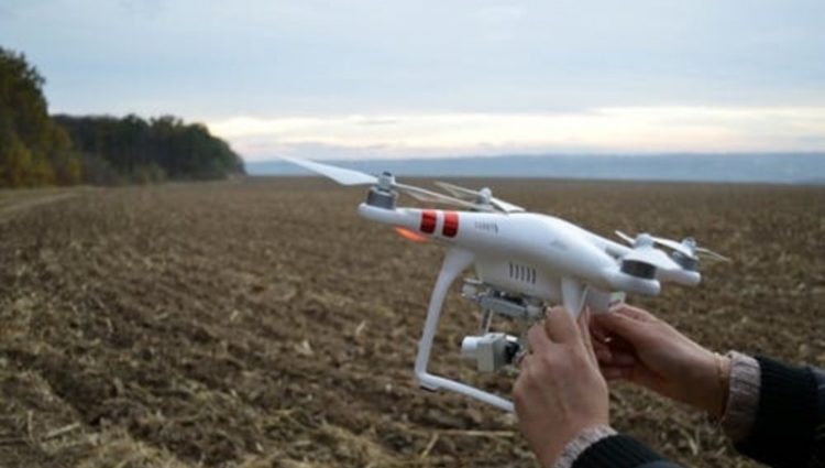
The aim of the research line is to develop new methods and technologies of geospatial information that integrate the components of digital image processing, geodesy, cartography and computer science looking for product solutions that increase the productivity of environmental monitoring. In this way, the research developed in these four areas will allow greater efficiency of the agricultural systems using unmanned aerial vehicles, remote sensing and geodesy in general. Thus, through the interaction between correlated areas, the research line aims to create innovative solutions for precision agriculture.